
Trace a Plymouth Township Street
A street-by-street search begins with the situs address, the physical location of the parcel. Search that address in BS&A or the Wayne Treasurer portal, then write down the parcel identifier, owner field, and legal description. The next search should confirm the same polygon in GIS. Only after those checks should an owner name move into the deed index. This order matters because the Register of Deeds is primarily party-oriented, while the assessor and GIS records supply the address and land description that identify the correct property.
The resulting chain documents different things. The property card can show ownership and mailing information. The map can show the parcel and nearby parcels. A deed can show a transfer. Voter tools can assist a voter with their own registration and formal voter files have limits. Historical criss-cross directories may name a past head of household by street and number. None of these records alone proves every person at an address today.
- Search the address, owner surname, or formatted parcel number in Plymouth Township BS&A.
- Confirm the situs, parcel, and municipality through the county map or Treasurer search.
- Use the owner or legal description to find recorded instruments in the deed index.
- Request an address-specific permit or township record only when the record type fits the question.
- For a past street, read the criss-cross directory and newspaper record for the same year.
Plymouth Township Street Search Fields
The township's official gateway sends property questions to BS&A Online. Its documented entry modes are Address, Name, and Parcel Number. Address mode can use a specific address or a range. Name mode can connect a first and last name to every parcel indexed under it. Parcel Number mode works best when the formatted identifier has already been copied from the tax record or map. The results table documents Name, Reference #, and Address, with sorting by name and list display controls.
| BS&A control | Street-directory use | Important limit |
|---|---|---|
| Address | Find one site or a supported address range | Exact formatting affects results |
| Name | Find parcels attached to an owner name | Owner does not equal all occupants |
| Parcel Number | Join a parcel to tax, GIS, and deed research | Use the township-formatted identifier |
| Building record number | Reach an enabled permit or project record | Service availability varies |
| Detailed record search | Navigate available assessment and related categories | Older coverage is not published |
The Plymouth Township BS&A search screen shows the public address, name, and parcel entry modes.
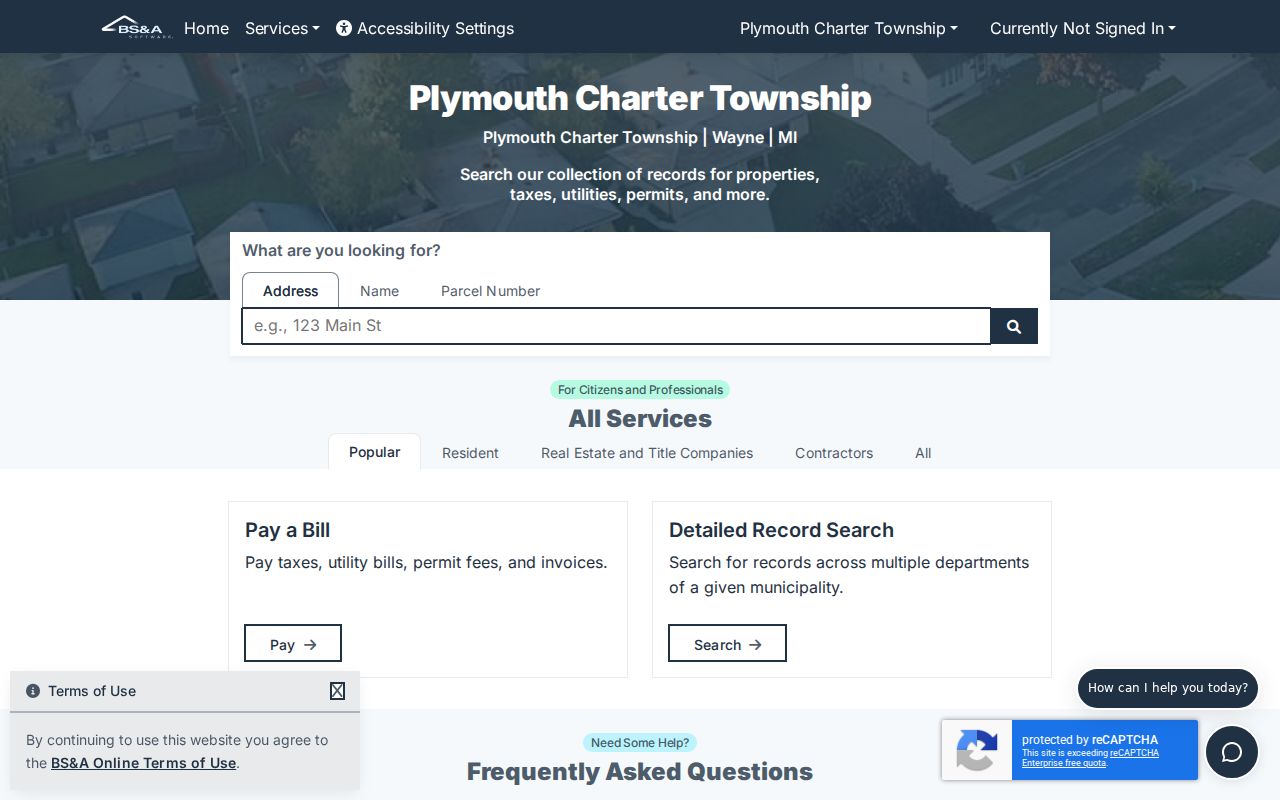
Record the Reference # with the address before changing search modes. That small step makes it easier to tell two similar street results apart.
Plymouth Township Whole-Street Scan
The Wayne Treasurer property-tax portal is a useful companion when the goal is a broad street scan rather than one parcel. Its Property Address tab takes a required Street Name, an optional Street Number, and an optional Municipality. Enter the first three or more street letters. A blank or partial street number can broaden the result set, and leaving the municipality blank searches all municipalities. Select Plymouth Twp when the jurisdiction is known so a shared Plymouth mailing address does not pull in the independent city by mistake.
This is a delinquent-tax and parcel tool, not a household directory. It can establish a parcel, address, and municipality trail. It cannot prove that a named owner lives at the situs address. When a result fits, carry the parcel number to BS&A, then compare the owner field with the GIS geometry and a deed entry.
Wayne County Treasurer's property-tax search displays the address and parcel search routes used for a wider street check.
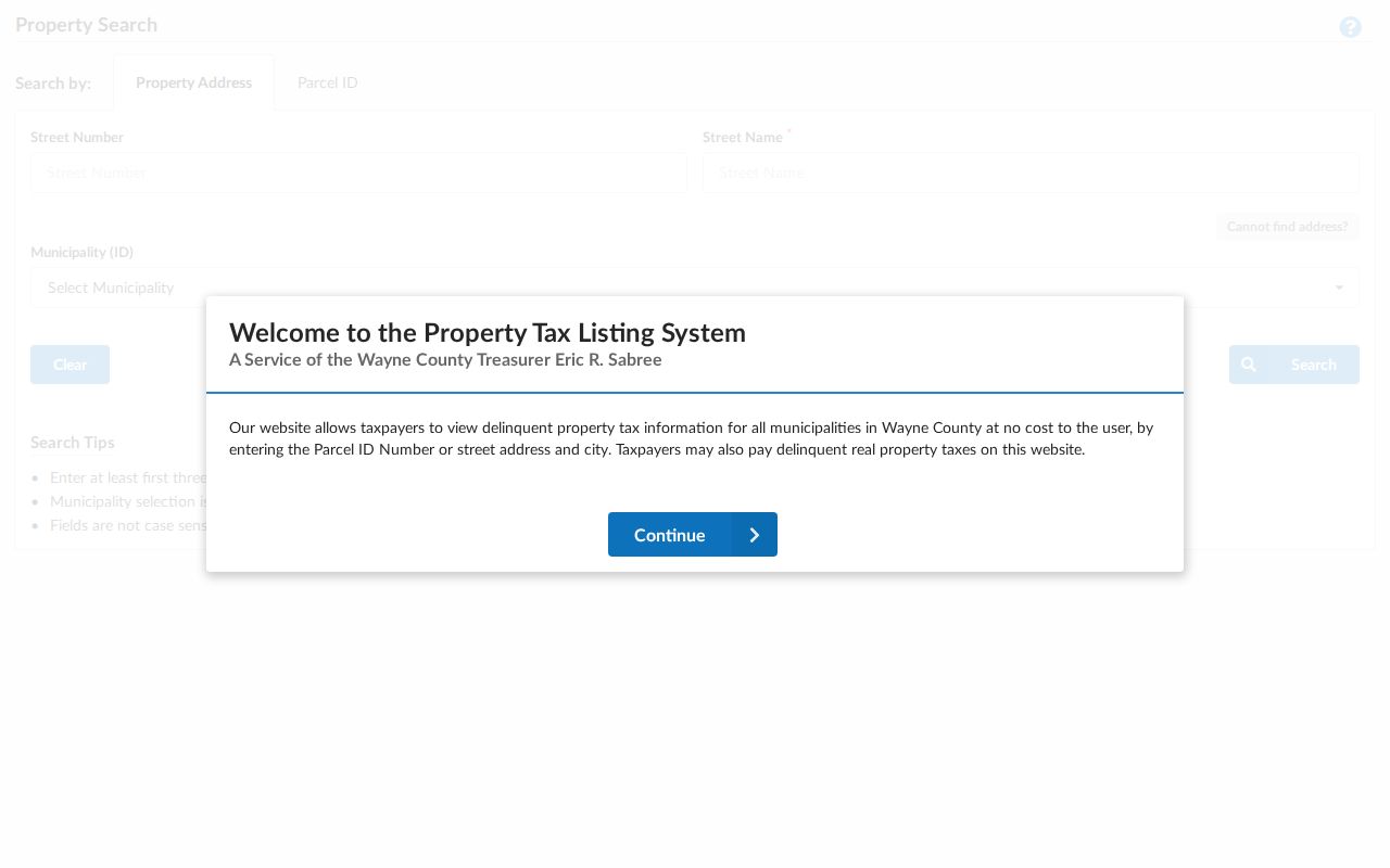
The municipality selector is the key local safeguard when a search result uses Plymouth as its postal city but sits outside township jurisdiction.
Plymouth Township Street Parcel Map
The Wayne County GIS viewer turns a street address into a parcel polygon. Zoom to the road, click the property, and capture the displayed address, parcel identifier, and owner field. The REST layer behind the viewer exposes ownername1, normalized street and ZIP components, packed parcel values, parcel IDs, full-address fields, and geometry. It also supports query, pagination, statistics, ordering, and distance functions. Those technical features describe the service, but the text inspection did not verify every visible map layer or tool in the public interface.
For a street directory, use the map as the bridge between systems. The clicked parcel connects to BS&A and the Treasurer by parcel or address. The owner name can be a deed-index search term. Adjacent polygons can show the pattern of parcels along a block, but map ownership should be reported as a land-record relationship, not as a claim about who belongs to a household.
Wayne County's parcel FeatureServer layer documents the address, owner, parcel, and geometry fields.
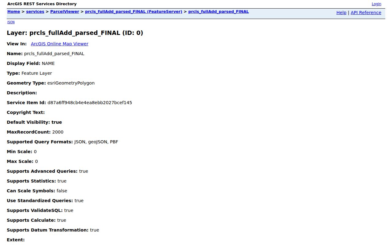
Clicking along a common road can identify the parcels to research, while the property and deed records explain the dated details behind each polygon.
Plymouth Township Street Record Sources
Address-keyed records form the working core of a Plymouth Township street directory. Each row below answers a different question. The assessor and GIS map establish the parcel. The Treasurer adds current tax and municipality context. Deeds document transactions and land interests. A permit can date work or identify a record custodian, but the research did not locate a stable public township permit-results screen or an archive start year. For a historic household, the criss-cross directory and newspaper layer add dated resident evidence.
| Record Set | Keeper | What It Shows | Access |
|---|---|---|---|
| BS&A assessment | Plymouth Township Assessing | Owner, mailing/situs, parcel, characteristics, exemption clues | Current public search; details vary |
| GIS parcel layer | Wayne County GIS | Parcel polygon, normalized address, owner attributes, identifiers | Public viewer and REST layer |
| Tax search | Wayne County Treasurer | Property address, parcel, municipality, delinquency | Free public portal |
| Recorded instruments | Wayne County Register of Deeds | Grantor/grantee, instrument, date, legal description | Free name list; expanded search and images paid |
| Permit or code record | Plymouth Township Building Department | Possible applicant, owner, contractor, work, inspection date | Online link, office, or specific FOIA request |
| Criss-cross directory | Library/archive collections | Past head of household, street number, phone, owner/renter mark | Collection access varies by year |
Parcel ID and legal description are the strongest joins. A street name alone can change format, apply to a city address, or occur in several municipalities. An individual voter lookup is not a whole-street browse tool; a formal voter-file request is a separate state process with use restrictions and protected-field limits.
Plymouth Township Street Deed Follow-Up
After the parcel is secure, the Wayne County Register of Deeds adds the recorded ownership trail. The free public search is name-only and returns a document listing. A paid account opens address, legal-description, parcel/tax-ID, and Liber/Page searches, with document images charged separately. Recorded documents dated from January 1, 1960 are available through the modern online system. Earlier steps may require Historic Index Books, an office route, or a mail search.
Use the owner name from the parcel card as a starting party, then compare the seller, purchaser, date, parcel clues, and legal description. A grantor is the party transferring an interest; a grantee is the party receiving it. A trust, entity, estate, divorce-related transfer, or name variation can break a simple chain. The deed trail shows land interests, not who occupied every room of the property.
- Parcel
- A tax and land identifier for a physical property.
- Situs address
- The physical location of the parcel, distinct from a tax mailing address.
- Plat
- A recorded subdivision map that links a lot and block to land.
- Criss-cross directory
- A dated directory arranged by street and house number rather than surname.
Wayne County Register of Deeds search instructions explain the free, paid, historic, office, and mail access paths.
Plymouth Township Street Permit Records
The Plymouth Township Building Department administers building, electrical, plumbing, zoning, and related codes. Its public page links permit, online inspection, fee-schedule, code, and ZBA routes. A permit or inspection record can be useful for a street history because it may date construction or alteration and may name an applicant, owner, or contractor. Those fields do not make a permit record a household list, and the research did not find a text-accessible public results screen or a published historic coverage date.
For a targeted address question, preserve the street number, parcel, document type, and approximate date. Use the department's available route or request the defined existing record from the Township. A broad request for everyone on a road is less likely to match a maintained records system and may implicate privacy review.
Plymouth Township Building Department identifies the permit and inspection channels.
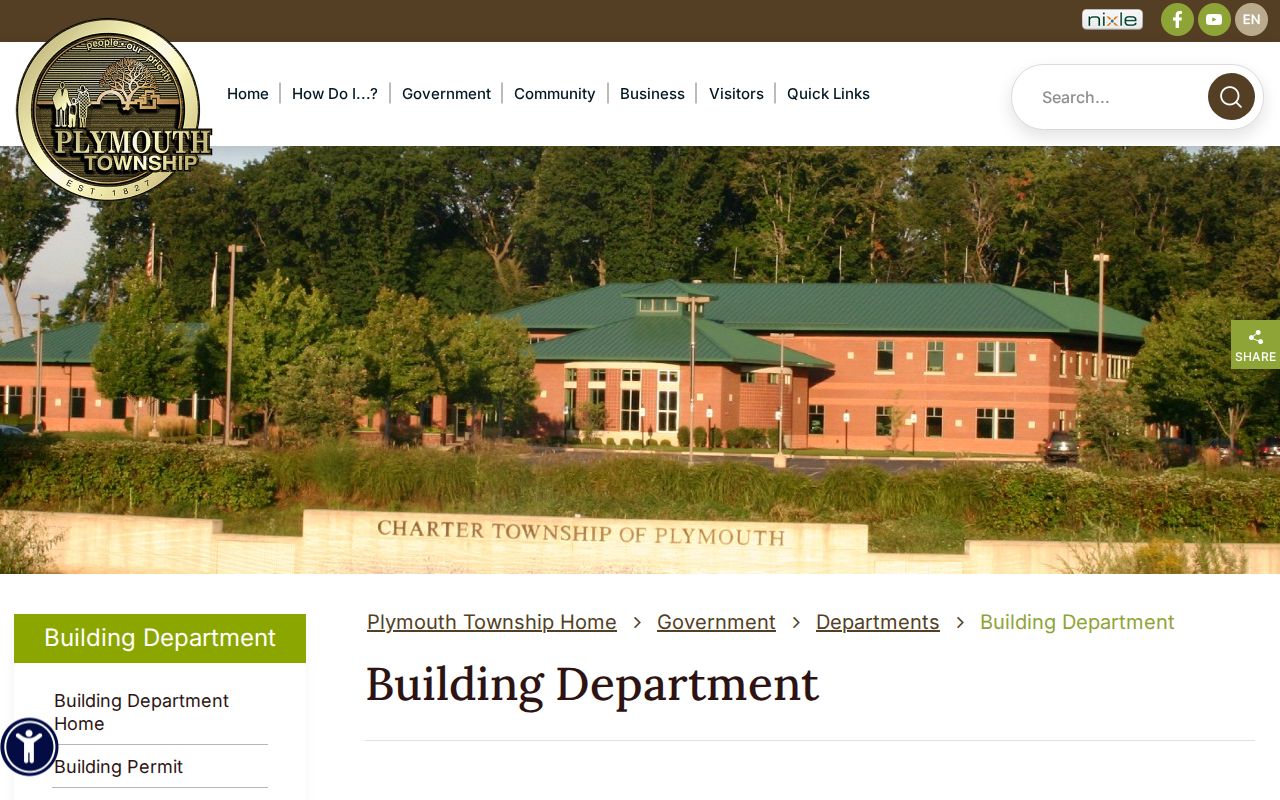
The department page gives the right custodian for address-linked work records, even when a historic result must be requested rather than searched online.
Plymouth Township Past Street Entries
A criss-cross directory reverses the usual name-first search. Instead of starting with a surname, find the street alphabetically and then the house number. The Library of Michigan describes Bresser and similar reverse directories as showing a head of household, phone number, owner or renter indicators, first-listed year, and sometimes a building description. Polk volumes add a surname section, a street section, and often business or phone sections. Compare the street entry with the name section and a dated newspaper item before treating it as a reliable past-address match.
Verified local directory years are uneven: 1938, 1941, 1943, 1946, 1948, 1951, 1953, 1956 through 1960, and a reported 1976 special directory. A gap is not proof that a family left. Plymouth District Library and the Historical Museum can direct a researcher to local history, newspapers, census, and genealogy sources. The Plymouth Township Directory Book has the fuller collection and entry-reading method.
Plymouth Township Street Jurisdiction
A Plymouth mailing address does not settle whether a street falls in the township or the independent City of Plymouth. The postal identity and ZIP 48170 overlap, while the government, parcel, tax, and permit systems do not. Confirm the municipality shown by the Wayne Treasurer or the parcel polygon before selecting the Township Building Department, a city agency, or a local Clerk. A city record can be precise and still be outside the township's jurisdiction.
The same caution applies to historical research. Early Plymouth Township places may be described by road, farm, section, range, or neighboring owner instead of a current numbered address. The township's 1827 establishment and rural 1876 atlas context explain why a modern street search can stop short. Use a legal description, plat, county historic index, census, or cemetery clue to bridge eras. No verified township-wide renumbering schedule was found, so do not assume an old number converts directly.
The township assessor gateway is the official starting point for the current property inquiry.
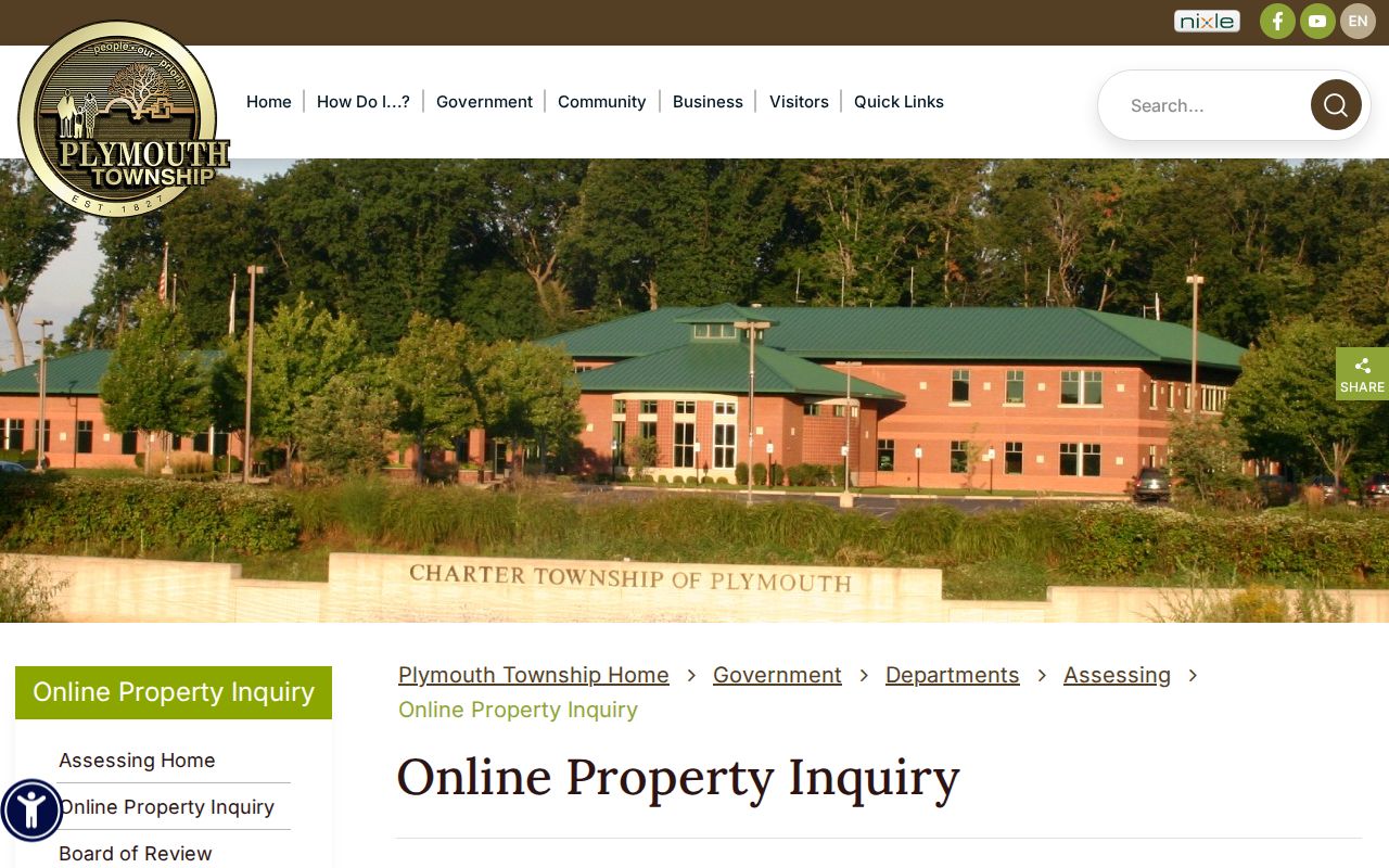
The gateway's township-specific disclaimer helps keep a current property lookup separate from the many other Plymouth-area records and address systems.
Plymouth Township Street Privacy Limits
The strongest street records identify parcels, owners, recorded interests, work records, or a dated directory entry. They do not publish a complete roster of people in each home. Renters and household members may not appear on a property record. Utility customers, delivery data, protected driver addresses, and protected voter addresses are outside the ordinary public street workflow. A mailing address can be outside the situs parcel, and an owner field can name a trust, company, estate, or absentee owner.
Michigan's Address Confidentiality Program protects designated addresses and mail forwarding for eligible people at physical risk. A formal voter-file request also excludes sensitive and protected information. Records access has legal limits. Use a specific public source for lawful personal research, verify a result through its custodian, and do not try to defeat a sealed or protected record.
Lawful use. Michigan's anti-stalking law, MCL 750.411h, and other protections apply. Do not use address records to stalk, harass, intimidate, or harm anyone.