
Previous Residents by Plymouth Township Era
An address history changes sources as it moves backward. The current assessor and parcel view establish the parcel, while the Wayne Register of Deeds documents transfers and legal descriptions. Directory entries and census schedules provide a separate household layer. The Museum’s newspaper, atlas, cemetery, and genealogy materials become more useful when an early property was described by a farm, road, or section rather than the modern number. Start with the record that has the best date match, then save the parcel identifier and exact address form for the next search.
| Source | Years it covers | Where held | What it shows |
|---|---|---|---|
| Wayne ROD modern index | January 1, 1960 to current online stated | Wayne ROD land-record system | Recorded instruments, parties, document placement; image access is paid |
| Wayne historic index books | Pre-modern categories; exact years not stated | QuickLink and ROD office | Historic index books, liber and book references, town/range/section clues |
| Plymouth/Northville directories | Verified local years 1938-1960; 1976 special issue reported | Library, repository, and digitized collection paths | Printed household, address, phone, and occupation clues where included |
| Federal census and local indexes | Federal schedules through 1950 public; Museum indexes 1850-1930 | National Archives, databases, Historical Museum | Household members, ages, relationships, and enumeration residence |
| Plymouth Mail and genealogy | Mail: September 1887-December 1954; genealogy: 1840-present | Plymouth Historical Museum | Notices, obituaries, family references, and local context |
For a recent transfer, the parcel and deed are the starting pair. For a much earlier family, an atlas, directory, census, and newspaper may have to establish the location before the land index becomes useful.
Freeze the Plymouth Township Parcel
Use the Township’s official BS&A property-inquiry gateway to capture the current owner, parcel ID, legal description, subdivision or lot, situs address, and tax mailing address. The situs is the physical location. The mailing address is where tax correspondence goes and can be different. A legal description identifies the land in a deed or plat and is more durable than a street number when an old address is unclear.
Confirm the parcel on the Wayne County parcel service. Its address and parcel attributes help distinguish the subject property from a nearby parcel with a similar street name. An owner on an assessment card is an ownership and tax-roll clue, not proof of every person who occupied the address.
Note: Keep the municipal field with the parcel record because a Plymouth postal address and ZIP 48170 can identify the independent city or the charter township.
Plymouth Township Past Resident Chain
The deed chain follows ownership backward, one recorded transfer at a time. The Wayne County Register of Deeds search and copy service makes recorded documents from January 1, 1960 available in the modern land-record system. Free public searching is name-only and returns a document listing. A paid account expands the search to address, legal description, parcel or tax ID, and Liber/Page; the cited prices are $6 for 15 minutes or $24 for 60 minutes, with images at $2 per page.
- Record the current owner, parcel ID, legal description, and situs address from the assessment record, then check the parcel geometry.
- Search the owner as grantee in the ROD index and locate the instrument that brought the property to that party.
- Copy the seller or grantor, recording date, document number or Liber/Page, and legal description exactly as displayed.
- Search that prior seller as grantee to locate the earlier acquisition, testing the legal description against the parcel each time.
- Repeat until the trail reaches the modern online cutoff, a different legal description, or an instrument that needs office help to interpret.
The ROD search instructions are shown below with the modern search and copy path.
Transfers involving a trust, estate, corporation, quitclaim deed, mortgage release, or name variation can interrupt a simple person-to-person chain and deserve separate review.
- Grantor and grantee
- The grantor transfers an interest; the grantee receives it. In a backward search, the seller is often the next person to search as an earlier grantee.
- Chain of title
- The chronological sequence of recorded instruments used to connect one property interest to the prior one.
- Legal description
- The parcel identity used in recorded land documents, often a lot and block, subdivision reference, or metes-and-bounds description.
Plymouth Township Previous Deeds
The 1960 online boundary is a workflow change, not the beginning of the property’s history. The Register of Deeds says older documents must be searched in the office or by mail. Its historic QuickLink interface exposes Historic Index Books, Liber, and Books tabs. Official instructions also identify Greektown kiosks, listed from 8 a.m. to 3 p.m., as an in-person path for older material.
A mail search is listed at $15 per address, with copies at $2 per page and certification at $10 per document. Those channels matter when a free name result ends before the address trail does. The Michigan Supreme Court’s bound-volume history explains electronic retrieval after 1960, but online retrieval and historical book access are not the same thing.
Historic Plymouth Township Resident Books
Before the modern index, work from the legal description rather than a present-day house number. Historic books can be approached with town, range, section, Liber, or book information. The 1876 and 1893 Wayne County atlases held by the Historical Museum help translate rural farm and road references into the land clues that match an older record. A subdivision lot or later plat can then connect that early description to a parcel.
Wayne’s Historic Index Books interface is shown below with the historical search modes.
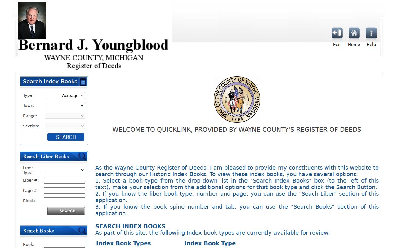
Ask ROD staff for help when a book reference, legal description, or name form does not resolve cleanly in the historic index.
Past Plymouth Township Households
Ownership alone does not identify every past household. The verified Plymouth/Northville directory years are 1938, 1941, 1943, 1946, 1948, 1951, 1953, 1956 through 1958, and 1960, with a 1976 special issue reported locally. A criss-cross directory, when available, starts with the street and number, then can identify the head of household, phone, and owner or renter notation. The collections and entry formats are described on the Plymouth Township directory book.
Federal schedules through 1950 are public under the 72-year rule. Pair a directory entry with the closest census, then use the Plymouth Mail, cemetery records, or probate evidence to explain a household’s disappearance. The Museum’s local census indexes cover 1850 through 1930, excluding Detroit, and can make a Wayne County search more manageable.
- Match the street spelling and house number from a dated directory to the closest available census year.
- Compare household names, ages, relationships, and the address or enumeration residence without assuming they are identical.
- Check the next verified directory year for a new household head, a move, or a changed spelling.
- Use an obituary, cemetery finding aid, or probate record as an endpoint when later evidence points to death or an heir transfer.
Lawful house-history use. Use Plymouth Township address research for family history, preservation, estate questions, or personal curiosity. Do not use a historical trail to stalk, harass, or track any living person.
Plymouth Township’s 1890 Resident Census
Plymouth Historical Museum Archives holds a 1890 Special Census among its Wayne County materials. That local exception can bridge a gap because the ordinary federal 1890 population schedule is generally missing. Confirm what pages and geographic scope the Museum holds before treating it as a match for one address. The same archive holds Plymouth mortality schedules for 1850, 1860, 1870, and 1880, family genealogy from 1840 forward, and the Plymouth Mail from September 1887 through December 1954.
Its archivist research service is the practical local house-history fallback: provide a parcel or road name, an approximate date, an owner surname, and relevant cemetery, newspaper, census, or directory details. There is no standalone Plymouth District Library house-history guide in the reviewed sources; when the archivist conducts research, the Museum lists a minimum $25 donation.
Note: A special census or family file is a lead that should be compared with a directory, deed, or other dated local record before it identifies a household.
Rural Plymouth Township Resident Addresses
Plymouth Township’s early land history makes address continuity difficult. The township was established in 1827, and early meetings were held in the Tibbits barn. The 1876 atlas records a rural farm landscape, so older people can be indexed by a farm, road, section, cemetery, or neighboring landholder instead of a modern numbered address. No verified township-wide renumbering, renaming, or annexation conversion schedule was located.
For a fire-insurance-map lead, the Library of Michigan map-on-microform page is a verified starting point. Exact Sanborn sheets and years for unincorporated Plymouth Township were not located, and a City of Plymouth sheet is not automatically a township sheet.
The Library of Michigan map resource is shown below as an access route for historical map research.
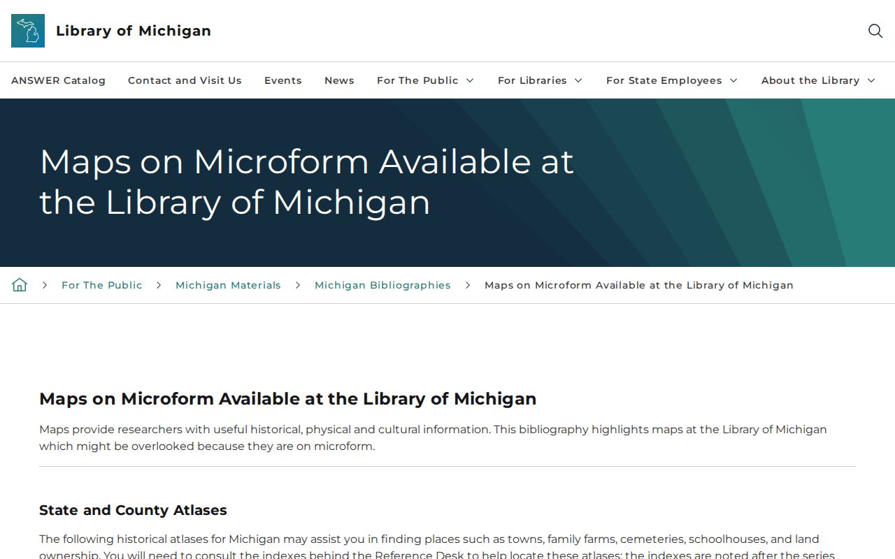
Translate rural terms through atlases, plats, section references, adjacent owners, and deeds before assigning an old farm description to a present parcel.
Plymouth Township House-History Records
Permits, notices, obituaries, and probate help close a trail after the land chain has been built. Plymouth Township’s Building Department offers permit and inspection paths, but no stable text-accessible public historical permit result or coverage date was found. An address-specific request under Michigan’s Freedom of Information Act or an office inquiry is the documented fallback. A permit can date work or identify an applicant, owner, or contractor, but it is not a complete occupancy record.
Newspaper notices can tie a name to a street, an obituary can identify relatives and a last address, and probate can explain a transfer to heirs or fiduciaries. Combine those sources only when their dates and the parcel’s legal description agree. This keeps a Plymouth Township house history anchored to evidence rather than a plausible but unsupported sequence.