
Plymouth Township ZIP Code Coverage
The official Michigan DTMB ZIP boundary map and township-address evidence identify 48170 as the principal ZIP code associated with Plymouth Township. The evidence does not establish a complete township-only list of every intersecting postal polygon, so the table names the supported code and leaves nearby codes as regional context only. USPS is the authority for a final delivery result. The ZIP code directory should therefore begin with the exact address, not an assumed neighborhood boundary.
| ZIP | Areas Covered | Post Office | Notes |
|---|---|---|---|
| 48170 | Plymouth Township and the independent City of Plymouth mailing area | USPS Plymouth delivery area; confirm the station by exact address | Principal Plymouth Township postal code; not a township or city boundary |
Nearby regional labels on the state map include 48150 for Livonia, 48167 and 48168 for Northville, and 48187 and 48188 for Canton. They are not additional ZIP codes to assign to a Plymouth Township parcel without an exact USPS result. A ZIP boundary is a delivery aid, not a resident roster or a jurisdiction ruling. USPS can recommend a city name for mail even where the government that maintains the property record uses a different municipal label.
Plymouth Township ZIP Boundary Mismatch
Plymouth Township and the independent City of Plymouth share the Plymouth postal identity and 48170, yet they are separate governments. The Wayne County community profile describes the township as approximately 16.6 square miles in western Wayne County and the city as 2.27 square miles. A mailing line that says Plymouth, Michigan therefore cannot by itself establish which municipality keeps the parcel, tax, zoning, or election record.
The parcel identifier and legal description are the useful bridge. The assessor tracks situs address, mailing address, parcel, and legal description. Wayne GIS supplies a parcel polygon and normalized address attributes. The Register of Deeds indexes instruments by parties and legal-description clues. Each source describes location differently, so preserve the source rather than flattening all three into one address.
Plymouth Township USPS ZIP Checks
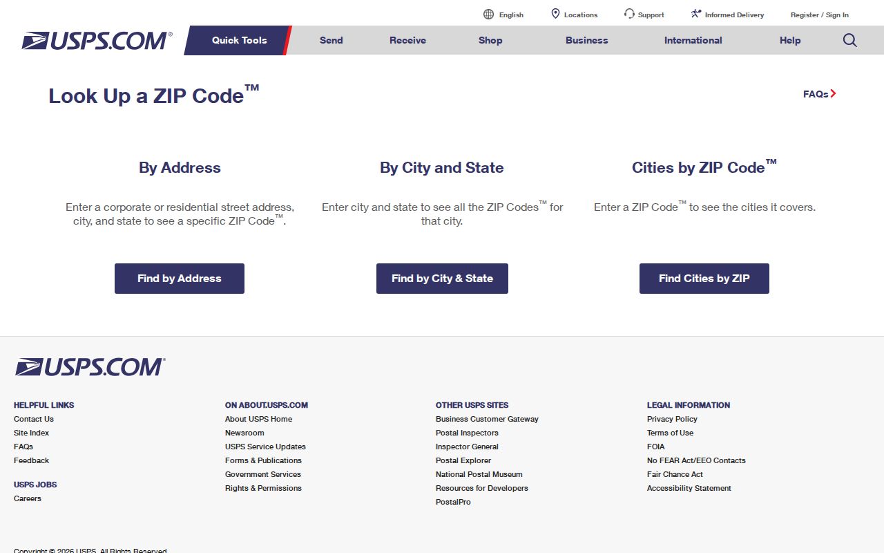
USPS offers three different ZIP code checks. Address lookup returns a delivery ZIP or ZIP+4 from an exact street address. City-and-state lookup finds ZIPs associated with a named postal city. Cities-by-ZIP starts with the ZIP and returns associated city names. Those modes answer different questions. For a Plymouth Township address, use the delivery-address mode first and compare the returned postal city with the township parcel record.
| USPS field | Use for the ZIP check |
|---|---|
| Street Address | Required in address mode for the delivery street |
| Apt, Suite, Other | Optional unit detail when the delivery address needs it |
| City and State | Required with the address; the recommended city can differ from a municipal boundary |
| ZIP Code | Optional in address mode, required in the cities-by-ZIP mode |
| Find | Runs the selected address, city/state, or cities-by-ZIP search |
The USPS ZIP Code Lookup shows its address, city/state, and cities-by-ZIP search modes.
USPS warns that a ZIP result does not confirm that a particular person or company occupies the address. Treat the return as postal validation. Then use the parcel, court, or other official record that matches the question being researched.
Note: Postal city names can guide delivery even when parcel and municipal records use different jurisdiction labels.
Plymouth Township ZIP Parcel Fields
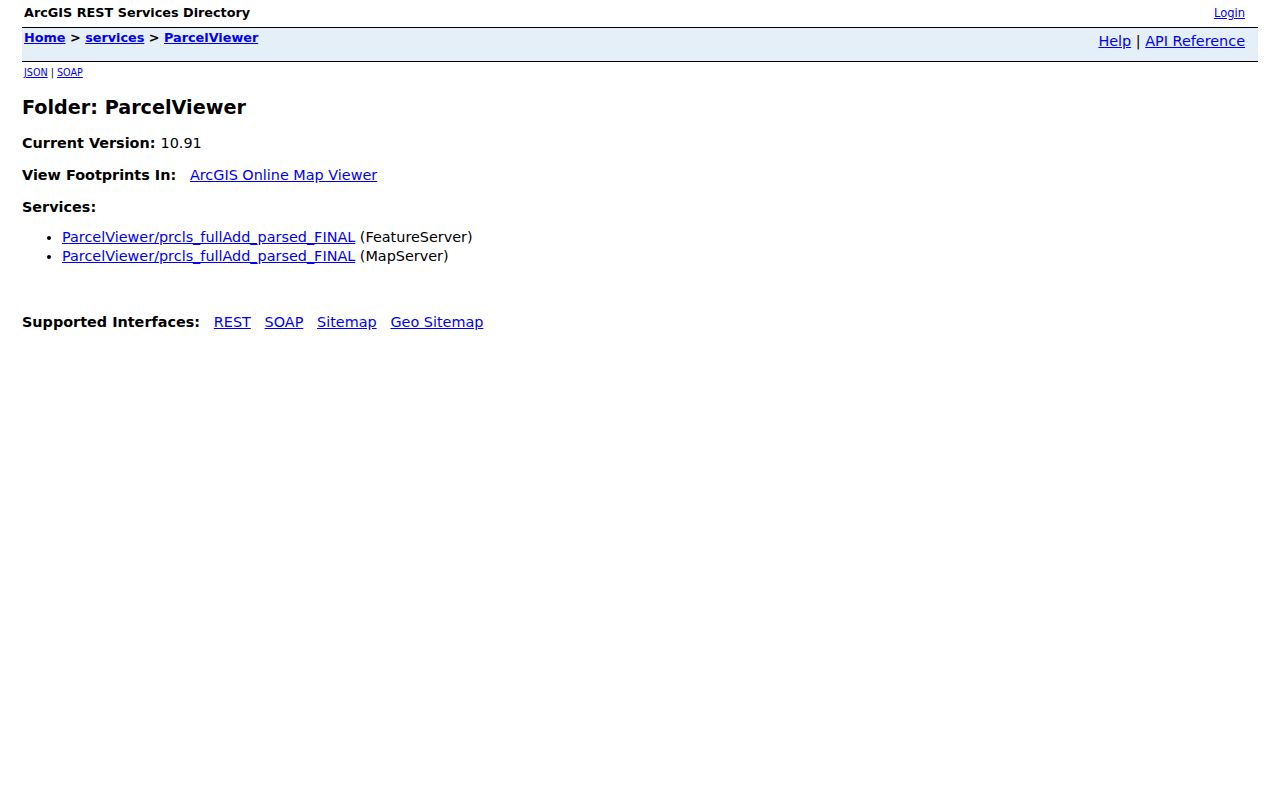
Wayne County’s parcel service gives the geographic side of a ZIP code search. Its REST layer includes propzip along with ownername1, propstreet, propcity, propstate, parcel identifiers, normalized address fields, and parcel geometry. The service supports query formats and distance queries, but the text inspection did not confirm a complete set of public viewer filters. That distinction matters: an attribute exists in the data service without proving that a visitor can use a specific public map button.
The Wayne County GIS ParcelViewer service is the source for the ZIP-related parcel attributes.
Use a map click to capture the parcel ID and normalized address, then verify the current property record through the township’s BS&A inquiry. A propzip value helps organize a search, but the parcel’s municipal field is the better check for township jurisdiction. Address, name, and parcel number are the documented BS&A entry modes, so an exact address or parcel ID is more useful there than a broad ZIP assumption.
Plymouth Township ZIP Code Research Steps
Searching one ZIP code works best as a narrowing process, not a single broad name list. Start with a complete delivery address and preserve the result’s postal city. The Wayne Treasurer accepts a municipality selection that includes Plymouth Twp, while BS&A uses address, name, or parcel modes rather than a dedicated public ZIP-wide mode. The Michigan Voter Information Center is for a voter’s own registration and polling details, not a browsable ZIP directory.
- Run the exact address through USPS and record the ZIP or ZIP+4 returned for delivery.
- Check the township or county parcel record for the situs address, parcel ID, legal description, and municipality.
- Use Wayne GIS to compare the parcel polygon and its normalized ZIP-related fields with the tax or assessment result.
- When the ZIP narrows to a specific road, continue with the address workflow in the Plymouth Township street directory.
For a formal voter-file request, the Bureau of Elections form allows geographic scopes such as a jurisdiction, ward, or precinct and applies use restrictions. It does not turn MVIC into a ZIP-wide public roll, and protected addresses remain excluded.
Plymouth Township ZIP Directory Limits
A ZIP code directory can organize postal geography, but it cannot prove who resides at an address. A tax mailing address may be elsewhere. An assessment owner may be a trust, business, or absentee owner. A voter match represents registration information subject to public-file rules, not a promise that every household member is listed. Utilities and private delivery lists are not public household sources.
Use the parcel record for property facts, USPS for delivery, and the appropriate custodian for a particular court, vital, or election record. Michigan’s public voter-file model protects full month and day of birth, phone numbers, driver-license or state-ID information, Social Security fragments, signature, email, and protected addresses. The state’s aggregate voter participation dashboard counts activity, not named residents.
The Bureau of Elections voter-file request form offers statewide, county, jurisdiction, district, school, village, ward, and precinct scopes. ZIP is not one of its listed scopes. It can request the public fields allowed for the chosen geography, with voter-history options where permitted, but it cannot require the Bureau to create a new postal-area directory. The form states a $23 fee in its instructions; confirm the current fee, delivery format, and use rules before submitting a request.
Note: A ZIP result and a name match need a separate parcel, date, or official-record comparison before they identify the same person.
Historic Plymouth Township ZIP Clues
ZIP codes are modern postal tools, so they are weak starting points for early Plymouth Township research. The township was established in 1827, and early material can describe farms, roads, sections, or neighboring landholders rather than a contemporary street number. No official source located a township-wide renumbering or address-conversion schedule. Do not force an old rural description into a current ZIP without first finding the land description or owner trail.
For an older address, compare road name, farm owner, section, town, range, plat, and neighboring owners with the current parcel. The Plymouth Historical Museum Archives holds 1876 and 1893 Wayne County atlases along with local census, newspaper, and cemetery material that can help translate that landscape. City history also has its own dates and facts; it should not be transferred automatically to a township parcel simply because both use Plymouth in a mailing address. Record the historical source’s year before carrying any location forward.
Plymouth Township ZIP Map Context
The township publishes a map collection that includes township, precinct, zoning, development, future-land-use, sidewalk-district, DPW, and solid-waste maps. These maps add context to an address or service area, but they do not replace USPS postal validation or a parcel-boundary check. The current precinct map is especially date-sensitive because the township consolidated 12 precincts to 6.
The official Plymouth Township maps page collects the municipal map resources available for local geography checks.
Use the map page to understand township features after the exact address is known. For a current polling-place question, verify the voter’s own information through MVIC because precinct assignments and locations can change.
Note: Precinct maps document voting geography, while ZIP maps document postal routes and related delivery areas.
Plymouth Township ZIP Code Terms
These terms keep a Plymouth Township ZIP code search precise. They describe postal routing and delivery details, not political boundaries or proof of occupancy. A parcel’s legal description and municipal field remain necessary when the question is whether an address lies in the township.
- ZIP Code
- A Postal Service routing code for a delivery area. It can cross city, township, or county lines.
- ZIP+4
- The basic ZIP plus four extra digits that narrow mail routing for a segment, building, or delivery point.
- PO-box ZIP
- A ZIP used for post-office-box delivery. It does not identify a physical parcel.
- Unique ZIP
- A ZIP assigned for a single organization or high-volume addressee where USPS designates one.
- Carrier route
- A mail-delivery sequence within a ZIP area, not a municipal boundary or list of residents.
The ZIP code directory is most useful when its postal result stays paired with the address, parcel, municipality, and date that produced it.