
Plymouth Township Neighbors by Parcel
A block search starts with land, not a claim about who lives in a home. Wayne County GIS draws parcel edges and returns address, owner, and parcel fields. Plymouth Township's BS&A property inquiry adds the assessment view for a selected parcel. The Treasurer and Register of Deeds answer different follow-up questions. Election data and association contacts are narrower channels with their own limits. This separation matters because a recorded owner, a mailing address, and a current resident are not interchangeable.
| Block source | What it can establish | Access path |
|---|---|---|
| Wayne GIS | Parcel edges, normalized address fields, owner attributes, and nearby geometries | Public map or REST query |
| BS&A property inquiry | Owner, situs and mailing address, parcel reference, assessment details | Search each parcel, address, or name |
| Wayne Treasurer | Parcel and delinquent-tax status | Public address or parcel search |
| Wayne Register of Deeds | Recorded parties, documents, dates, and legal-description trail | Free name listing; expanded access is paid |
| Association contact sources | Board or association contact and development facts | Township or public association page |
For Plymouth Township neighbors, the table is a way to test parcel relationships, not to assemble a household roster. A parcel can belong to an entity, a trust, a common-area association, or one owner with several lots. A historical directory or newspaper archive may add past context, but it is dated evidence. The Plymouth Township street directory is the better route when the question extends along an entire named street.
Plymouth Township Neighbors on GIS
The Plymouth/Wayne ArcGIS viewer is the first map layer to use. Center the known address, zoom until parcel polygons are clear, and select the subject polygon. The related FeatureServer includes ownername1, normalized street and ZIP components, full address fields, parcel identifiers, and polygon geometry. Pan across shared frontage or shared boundaries, then select each contiguous polygon. The service also documents distance queries, pagination, and GeoJSON output, although the public viewer did not expose a complete text list of map tools.
Keep the subject parcel separate from an adjacent parcel, even when both show the same owner. Common areas and vacant parcels can sit between homes. A GIS click offers a land-record connection, not proof of a personal relationship. The municipal field is important here: the City of Plymouth and Plymouth Township share a postal identity and ZIP, but they are separate governments with different records.
Check Plymouth Township Parcel Details
Use the parcel identifier or normalized address from GIS in Plymouth Township's BS&A Online property inquiry. Its public search modes include address, name, and parcel number, and results show Name, Reference #, and Address. A detailed card can connect the parcel to assessment, current-tax, special-assessment, building, or utility categories where available. The township's assessment page also directs users to the assessor when older or unclear fields need a direct answer.
- Parcel
- A defined piece of land used by the assessment and GIS systems.
- Situs address
- The physical location assigned to the parcel.
- Mailing address
- The address used for tax correspondence, which can differ from the situs address.
- Legal description
- The lot, block, subdivision, or land description used to identify land in recorded documents.
Wayne Treasurer's address search accepts a blank or partial street number and the first three or more street letters, with Plymouth Twp available as a municipality filter. That can help locate a parcel when the number is uncertain. It is a tax-status tool, however, and it should not be read as an occupancy list.
Map a Plymouth Township Block
The adjacent-parcel method gives the search a repeatable boundary. It works from the selected lot outward, then checks each record source for the exact question at hand. A deed can explain ownership history, while a tax entry can reveal a parcel-status issue. Neither should be stretched into a conclusion about every person connected with an address.
- Find the known address in the Wayne GIS viewer and note the selected parcel ID, owner field, and normalized address.
- Pan across the block and record only the polygons that share a boundary or frontage with the subject parcel.
- Open each parcel in BS&A, distinguishing a separate structure from common land or another parcel held by the same owner.
- Use the Treasurer for a parcel-status question. For a transfer question, search the owner names and legal description in the Register of Deeds.
- For a broader street-by-street sequence, move to the street directory rather than enlarging a small block search.
The process is address → GIS polygon → parcel ID → BS&A detail → Treasurer or deed record, as needed. Wayne's modern deed system reaches recorded documents from January 1, 1960 forward. Earlier land research moves to Historic Index Books, the Register of Deeds office, or its mail-search path, so the date belongs in any conclusion about a block.
Michigan Voter Records Near Plymouth Township
Michigan's Voter Information Center is for a voter to check that person's own registration, address, polling place, and election information. It is not a browse-by-block tool. Plymouth Township directs voters to MVIC for current polling information after consolidating its precincts from twelve to six. A precinct map explains election geography, but it does not identify the people on a street.
A formal Bureau of Elections voter-file request can be scoped to a jurisdiction, ward, precinct, or other allowed geography. The public-file model may include name, residential or mailing address, year of birth, registration date, voter status, and election-history fields where requested. It excludes protected addresses and sensitive identifiers. Michigan does not register voters by party, and ballot choices are never public. Treat a record status as a list status, not proof that a person is presently at the address.
Plymouth Township Association Contacts
For shared-area questions or association business, use an association contact instead of trying to infer members from parcel records. The township's Spring 2024 newsletter says it keeps current homeowners-association contact information and asks designated contacts to provide association details to the township. That is a useful community layer, but it is not a public directory of households.
| Association | Publicly described information | Contact route |
|---|---|---|
| Trailwood Homeowners Association | Common-area maintenance, snow plowing, welcome notices, Trailword, social events, and board contact | Trailwood contact page |
| Country Club Village 4&5 | Board, annual meeting, architectural controls, common areas, and development facts | board@ccv45.com |
| Rolling Oaks HOA | Association contact information and public neighborhood details | Rolling Oaks site |
The Trailwood Homeowners Association publicly describes neighborhood services and ways to reach its board. Its status-letter process is for association administration and a transaction, not for public disclosure of a resident list.
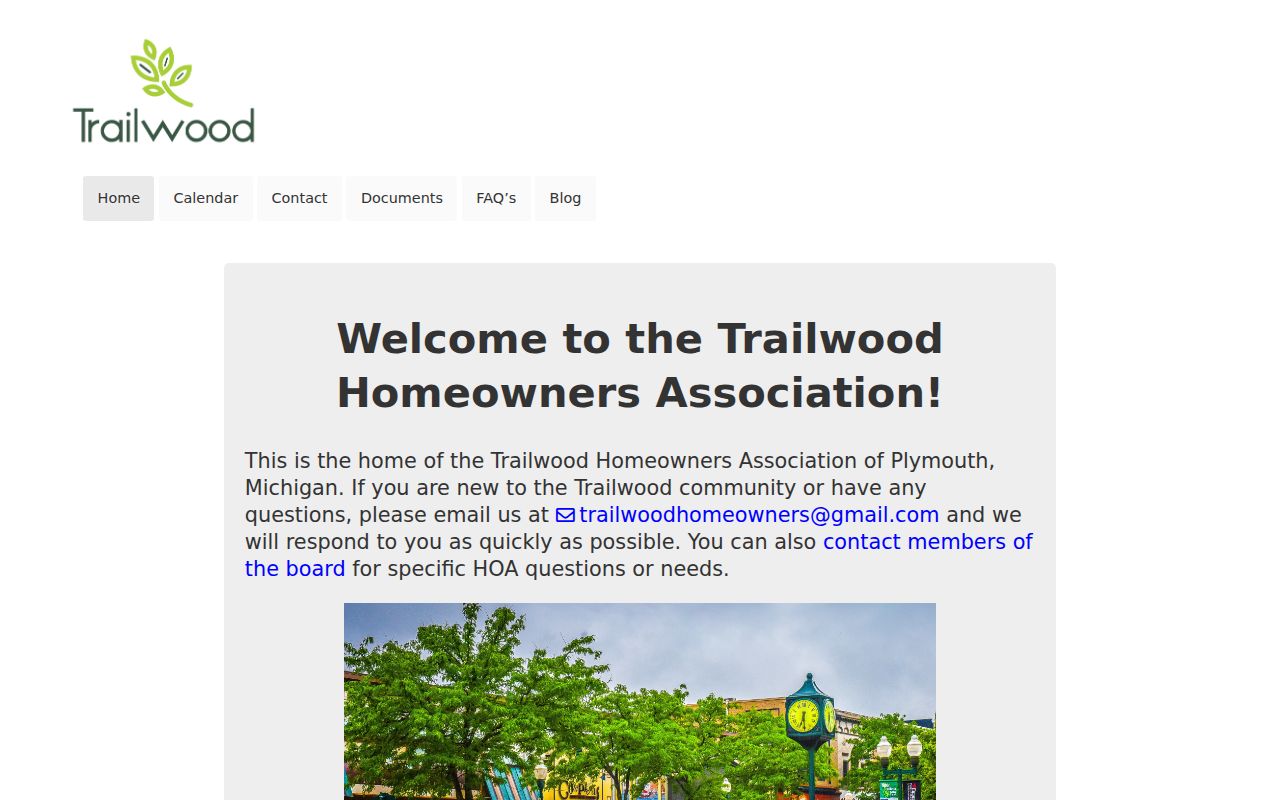
That public association layer helps route a legitimate common-area question to the right contact without representing who belongs to a household.
Newer Plymouth Township Neighbors Context
Association facts can also date the physical development around an address. Country Club Village 4&5 reports 299 single-family homes built in five phases from 1998 through 2001 across 124 acres, with phases four and five on Napier just north of Ann Arbor Road. Those details describe a development era, its common areas, and its board structure. They do not create a roster of the people who live there.
The Country Club Village 4&5 association page provides those neighborhood facts and an association contact.
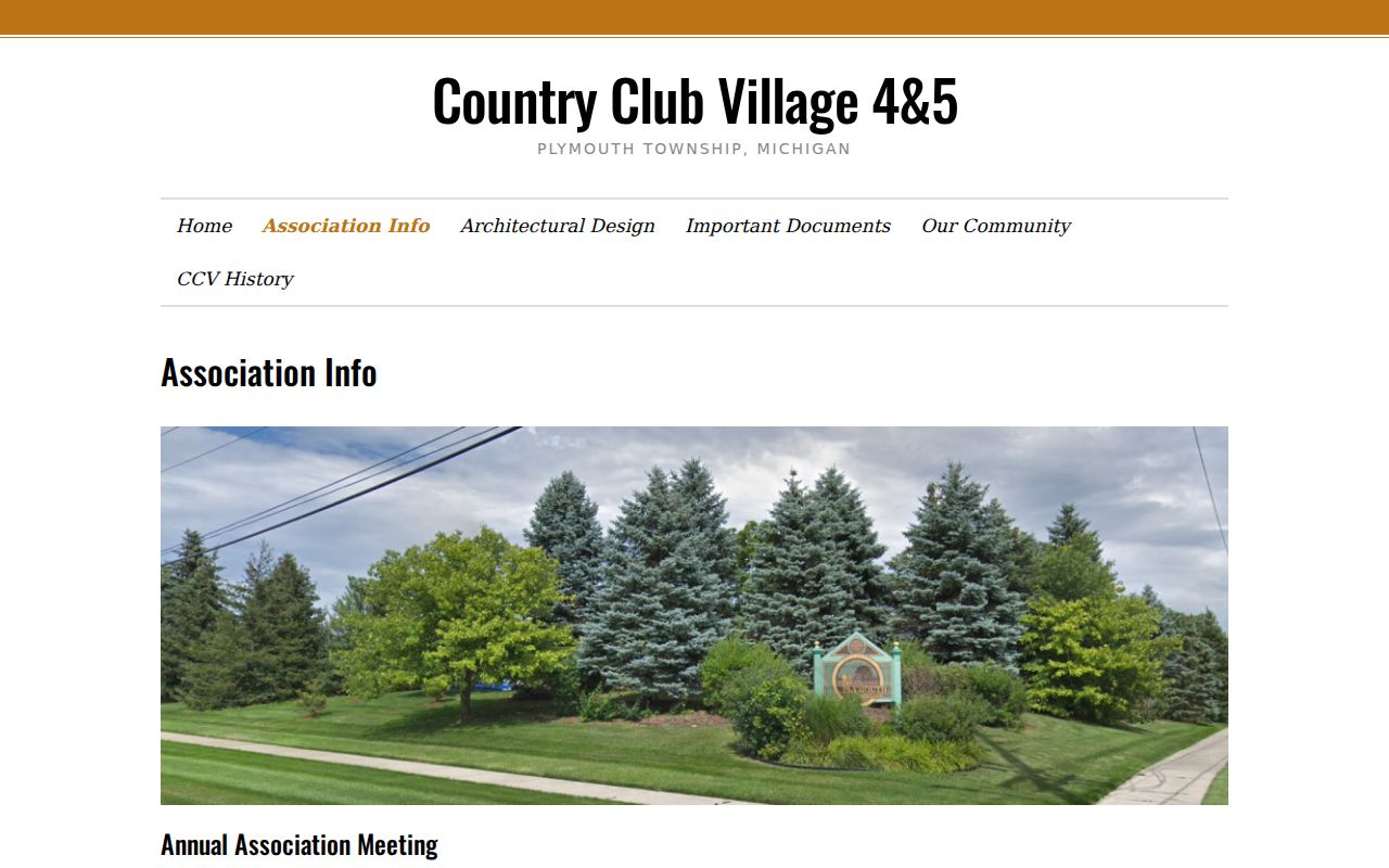
Use the page to understand the association's public role, then return to official parcel sources for any land-record question.
Plymouth Township Community Contacts
Rolling Oaks identifies a 151-home association and provides its public contact information, but no member directory was located. Plymouth Community Citizens Watch is created by township ordinance, yet its membership and contact details are not published as an open roster. The Plymouth Community Chamber has a voluntary business directory for the City and Township community, which can identify participating businesses rather than private households.
The Rolling Oaks HOA public site is an example of this limited contact layer.
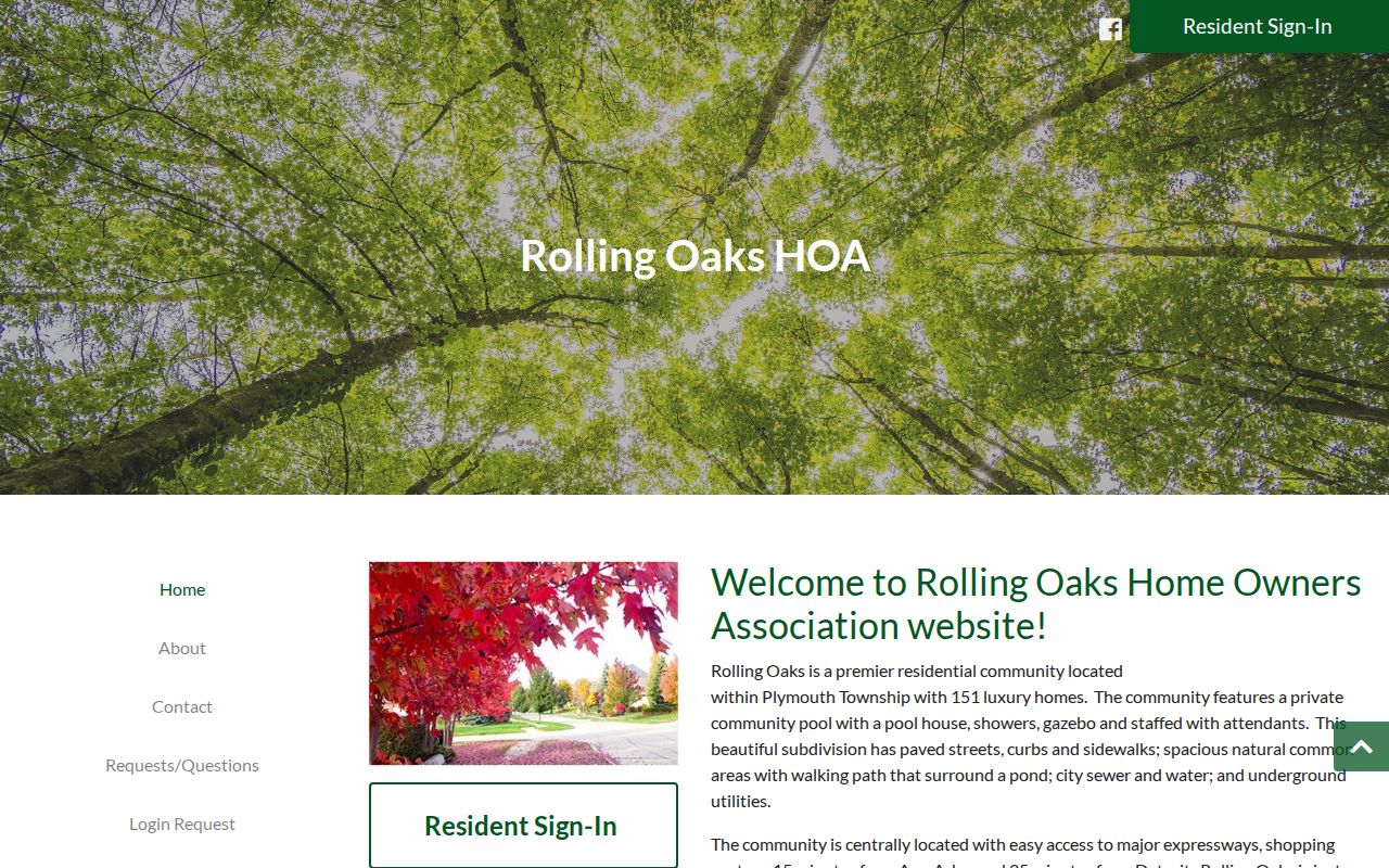
A board or township contact is the proper first step for a community matter, rather than attempting to turn public facts into a membership list.
Plymouth Township Neighbor Source Choices
Official records answer a limited, traceable question at a time. Commercial neighbor tools may recombine public and licensed data, but their matches can lag behind a move, merge people with the same name, or keep a copied error after an official record changes. An official record remains the source to verify when the parcel relationship itself matters.
| Source category | Strength | Limit |
|---|---|---|
| Official parcel, tax, and deed records | Traceable parcel or recorded-document relationship | Does not establish every current household member |
| Formal voter-file channel | Defined public-record scope with protected fields excluded | Not a casual block browser and not proof of current occupancy |
| Commercial neighbor tools | May offer a broad lead to verify | Accuracy, identity-match, and opt-out limits require caution |
For a historical block question, Plymouth District Library and Plymouth Historical Museum provide newspaper, directory, atlas, census, and genealogy leads. Date the source and preserve the original jurisdiction, especially where older entries use a farm, road, or section description rather than a modern number.
Plymouth Township Neighbor Privacy Limits
A parcel workflow does not reveal renters, family members, utility customers, delivery records, or protected driver information. Michigan's Address Confidentiality Program protects a designated address for eligible people at physical risk, and voter-file requests exclude protected addresses and sensitive fields. Court seals, vital-record limits, and state privacy rules are boundaries to respect, not problems to work around. Do not try to reconstruct a protected address from a parcel, deed, map, or other source.
Lawful use. Use Plymouth Township neighbors sources for a personal, legitimate question about a block or community contact. Michigan's anti-stalking law, MCL 750.411h, forbids a course of harassment or repeated unwanted contact; public records do not authorize surveillance, threats, or intimidation.